Topographic Recreational Map
GTR Mapping 088126209X Topographic Recreational Map, 24 in L, 33 in W, Utah
Detailed travel map interstates, exit numbers, highways, most local maintained roads. Topographic contours each 1000 ft. Color shaded each 2000 ft above 6000 ft. Features include national forests, wilderness, campgrounds, parks, state wildlife management areas, ski areas, mining districts, points of interest and more.
Product Information
Product Information
Shipping & Returns
Shipping & Returns
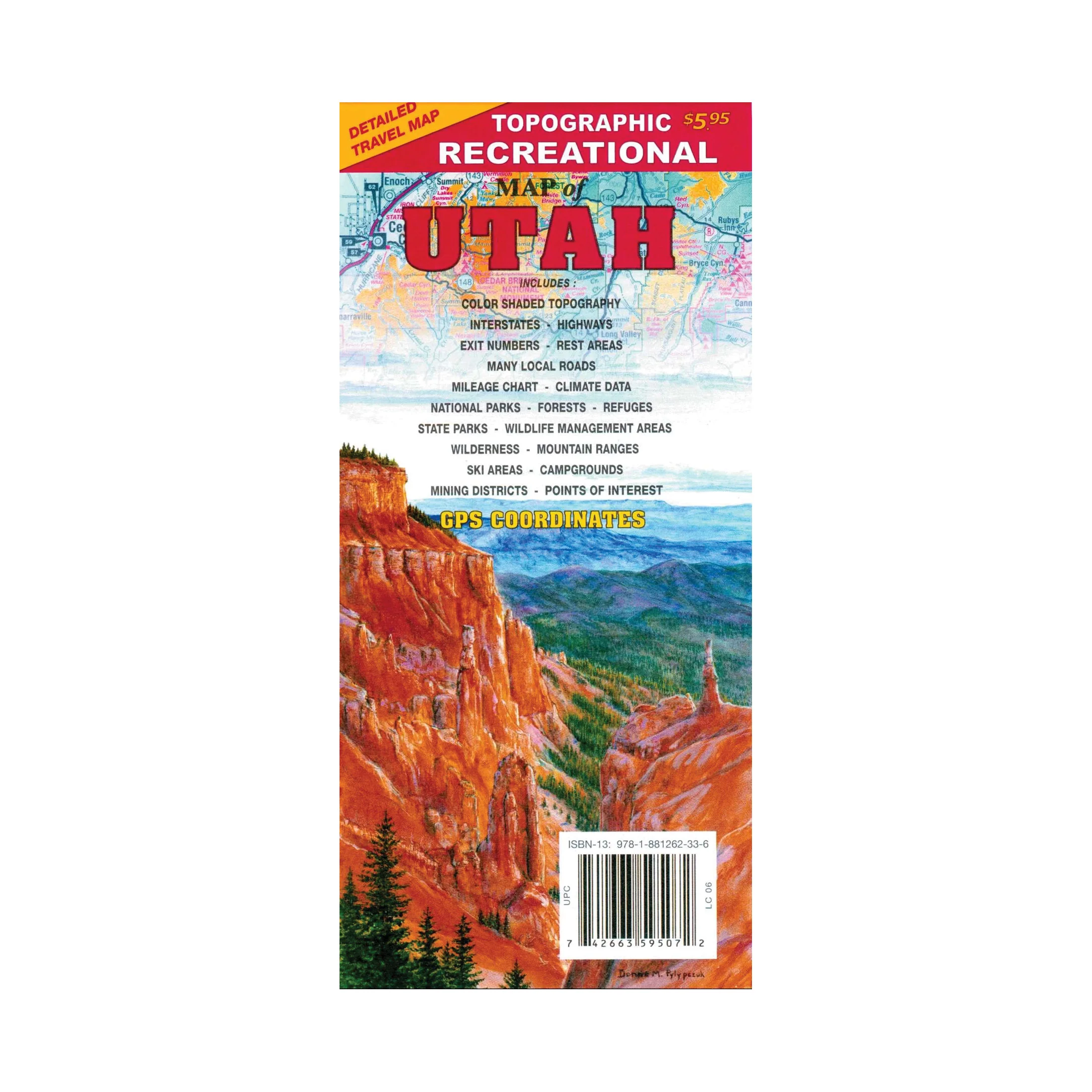
Topographic Recreational Map
Topographic Recreational Map
GTR Mapping 088126209X Topographic Recreational Map, 24 in L, 33 in W, Utah
Detailed travel map interstates, exit numbers, highways, most local maintained roads. Topographic contours each 1000 ft. Color shaded each 2000 ft above 6000 ft. Features include national forests, wilderness, campgrounds, parks, state wildlife management areas, ski areas, mining districts, points of interest and more.
Original: $5.95
-65%$5.95
$2.08Product Information
Product Information
Shipping & Returns
Shipping & Returns
Description
GTR Mapping 088126209X Topographic Recreational Map, 24 in L, 33 in W, Utah
Detailed travel map interstates, exit numbers, highways, most local maintained roads. Topographic contours each 1000 ft. Color shaded each 2000 ft above 6000 ft. Features include national forests, wilderness, campgrounds, parks, state wildlife management areas, ski areas, mining districts, points of interest and more.